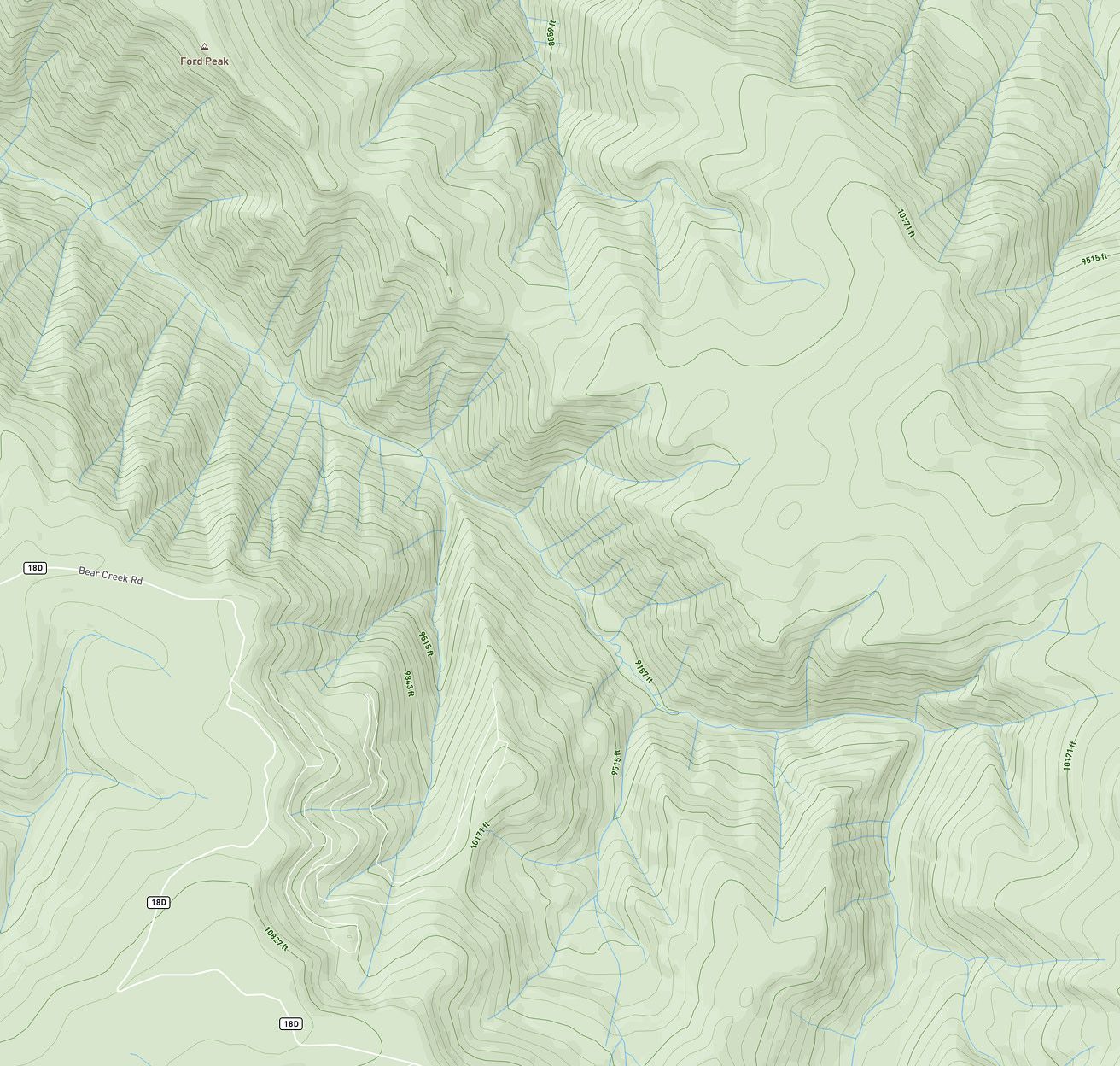
Made to help plan better routes in and out with topography elevation, pinch points, ridges, and creek crossings.
Unlock new strategy with a bird's eye view of the terrain, pinpointing access points, trails, and habitats for your desired species.
Works hard so you can understand land shape and elevation to predict movement, find water, and set up where the action is.
Reveals hidden terrain features, so you can spot bare ground under densely wooded areas, plan ambush points based on terrain layout, and identify funnel areas to inform your blind or stand strategy.
Elite Maps. Epic Hunts.
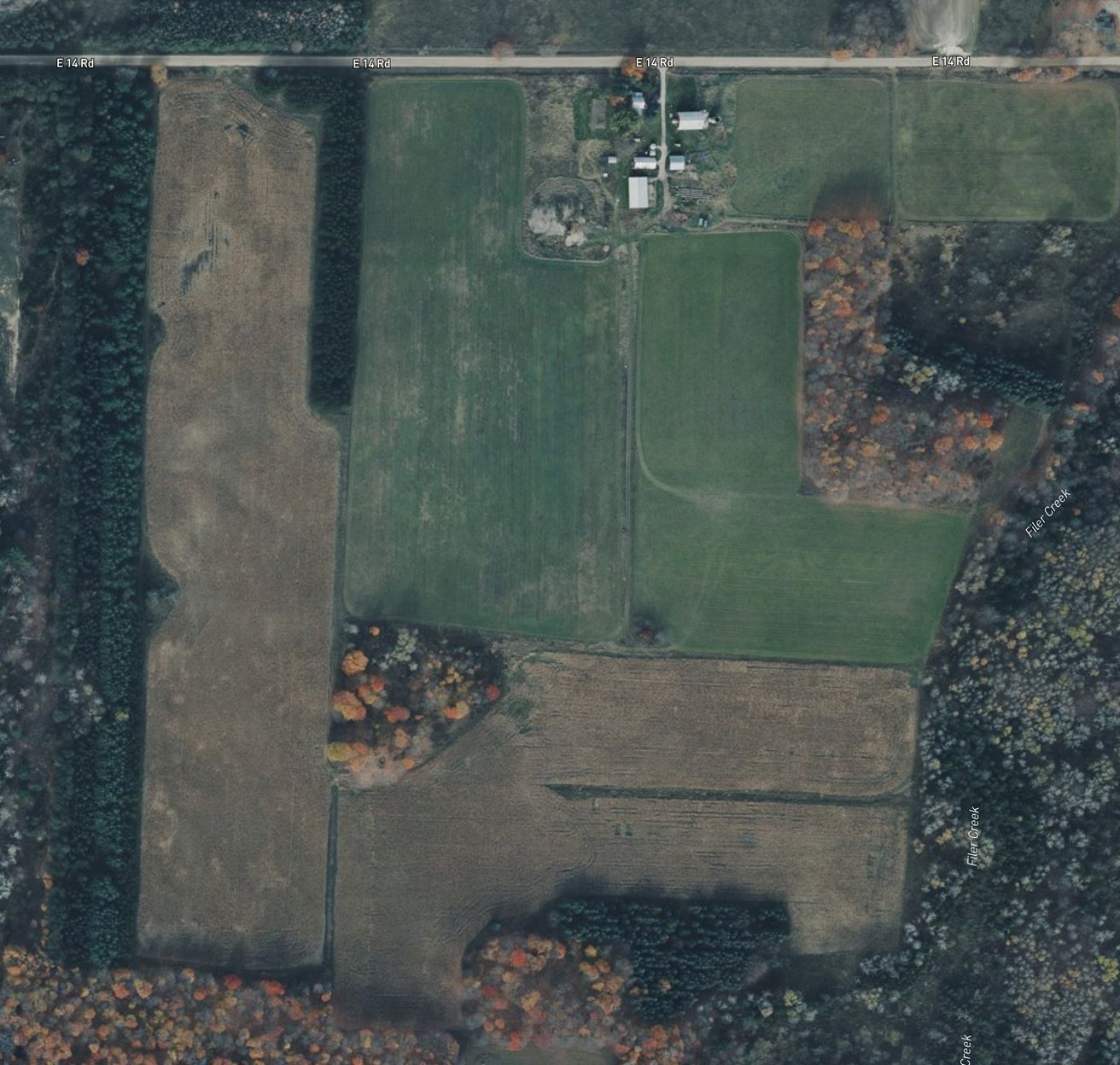
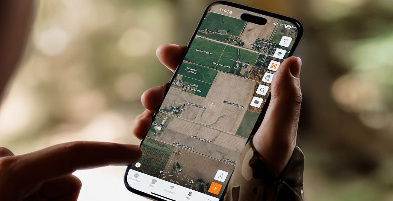
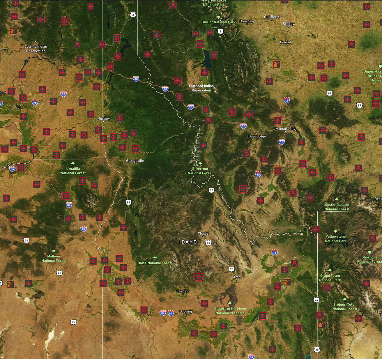
Private Land At Your Fingertips
Regularly updated property lines mean you can hunt legally without worrying about trespassing. Want permission to hunt private land? Reach out to landowners right from the app.
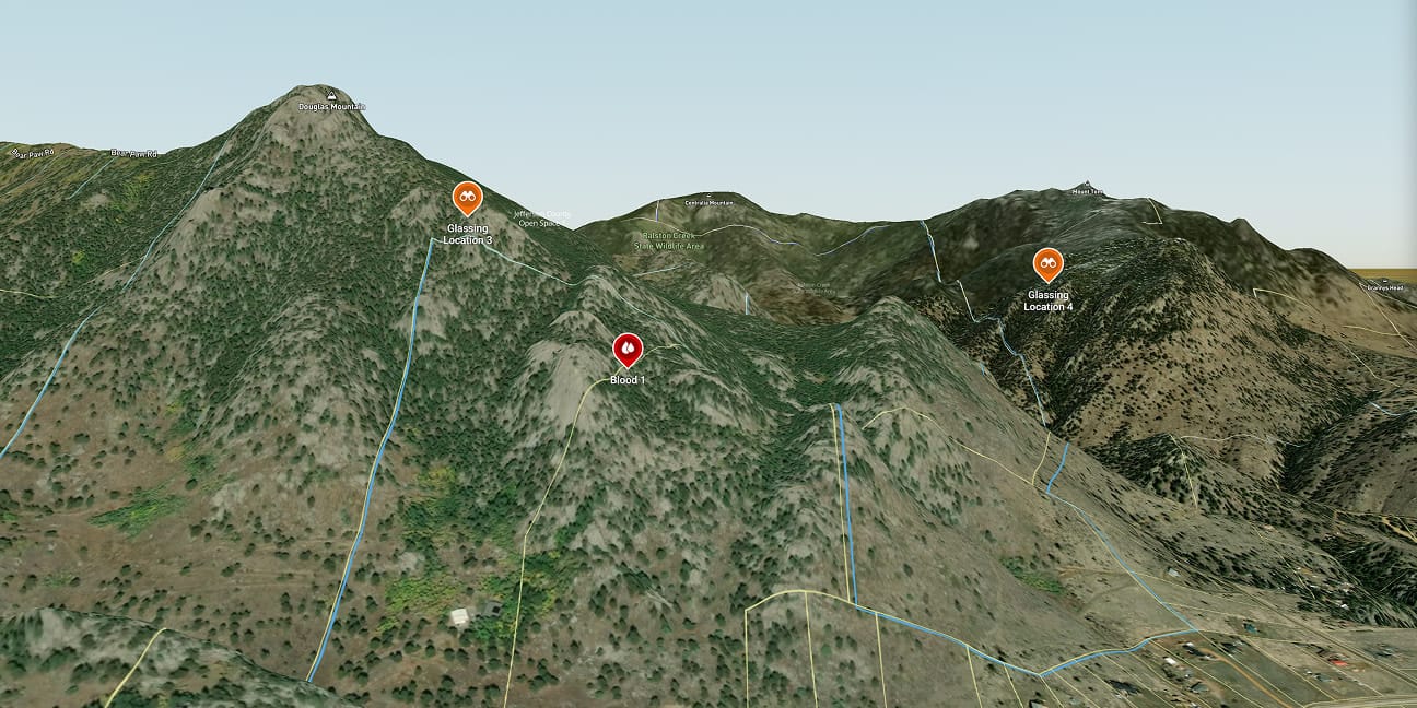
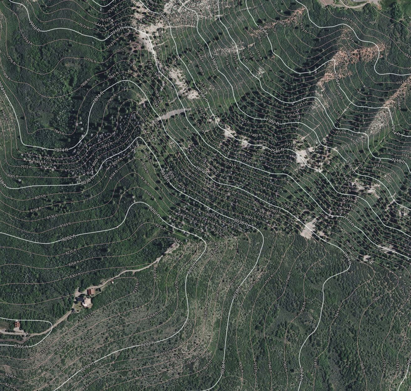
Visualize in 3D
3D mapping brings terrain to life. Get a clearer grasp on elevation, ridges, crossings, and more. Plus, helpful features like recording your walking path help fine-tune your plan to the terrain.

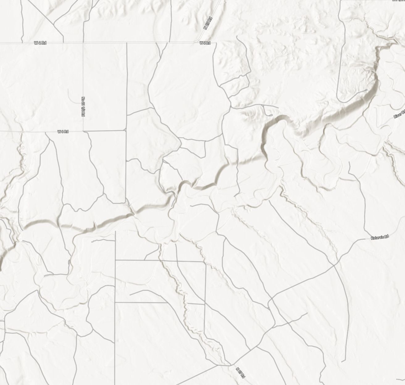
Stay Ready—Even Offline
No service? No problem. Download your hunt areas with all your custom markers, so you're always covered in field, even when you're off the grid.
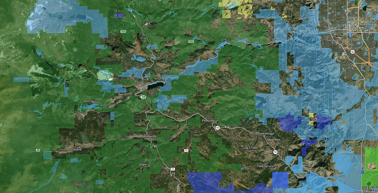
View the most relevant and helpful info at a state by state level, from wildlife management areas to state parks and county lines.
An expansive collection shows shooting ranges, archery shops, and game processors near your hunting spot.
Plan entry and exit points that enable you to stay stealthy monitoring prey. You'll also see where you can drive, walk a path, or hike the unbeaten trail.
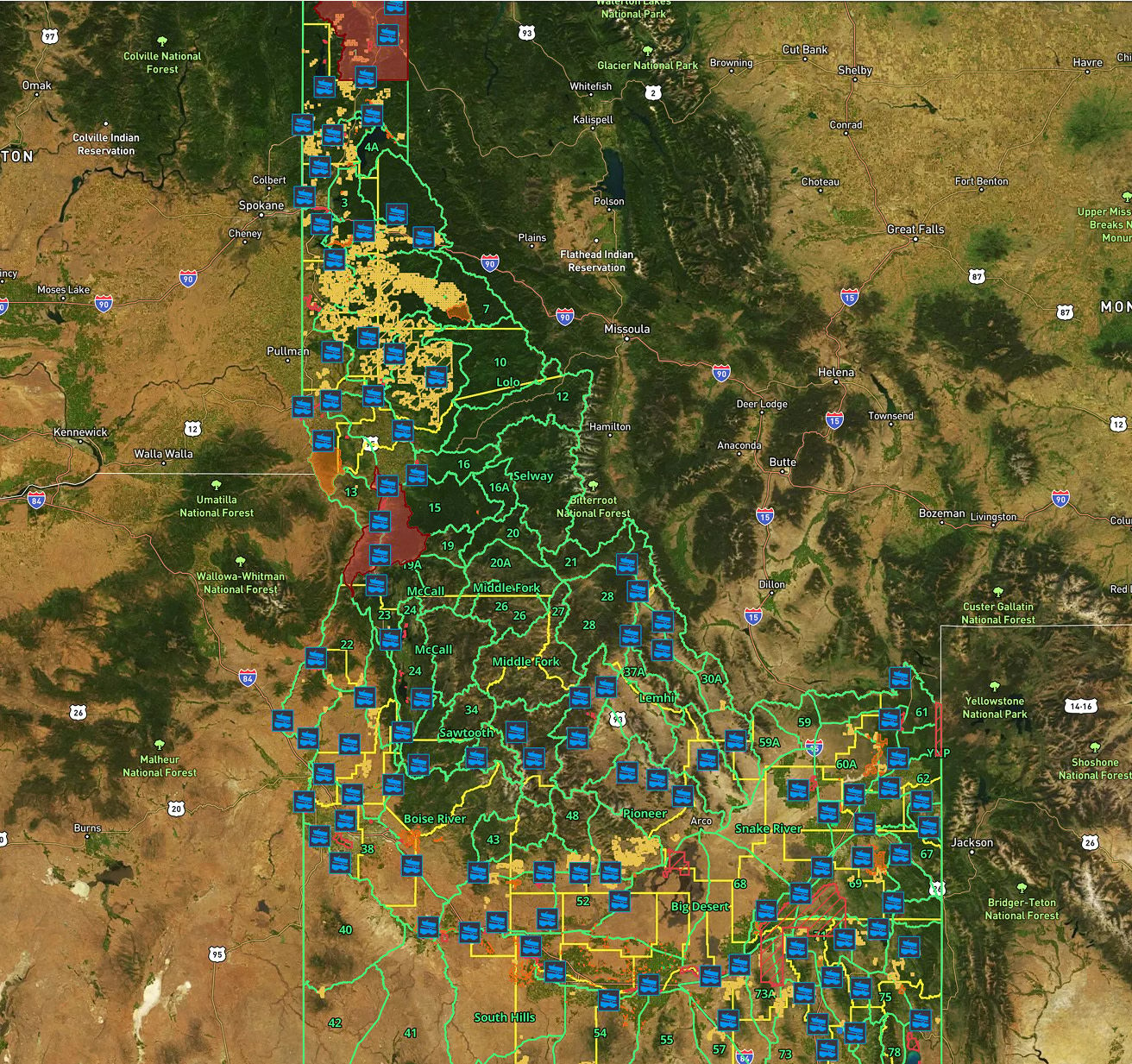
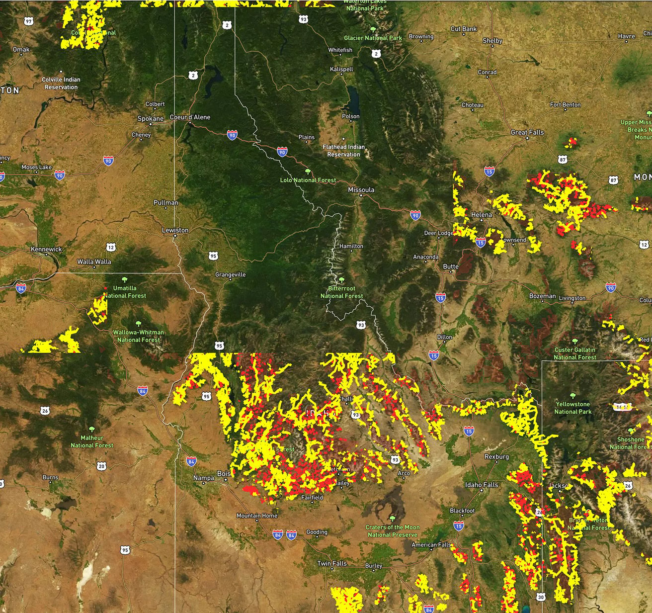
Recent wildfire and timber cuts are easy to spot anywhere in the country.
Layers that Simplify the Search
Every hunt brings new challenges. With over 650+ layers, you'll have endless opportunity to unlock new land details that matter - boots on the ground mixed with tech makes for unbeatable potential.

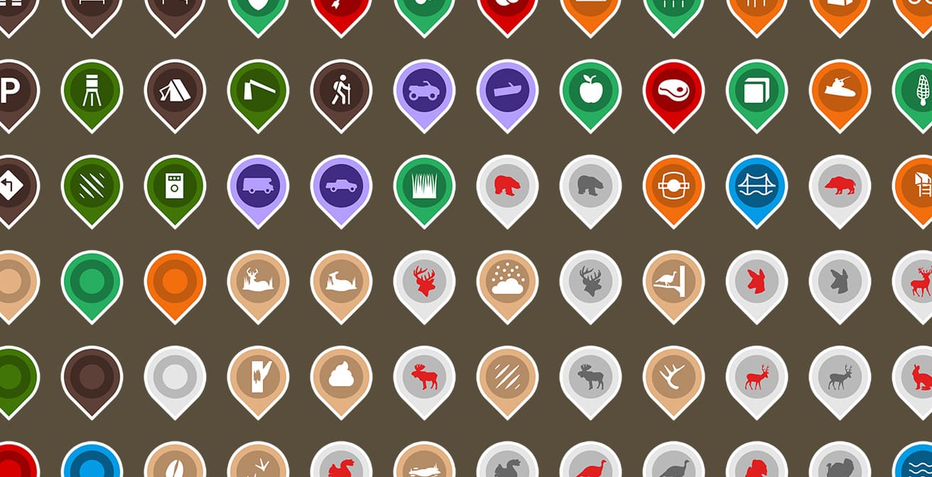
Unlimited Markers

Track everything that matters—sightings, trail cams, rubs, scrapes, and bedding areas—to spot patterns over time.

Drop custom markers for stands, blinds, camp, and animal beds. Add notes to document your hunts and reflect later.

Set ideal wind direction for each stand or blind to plan your setup with precision.
Plus, with no limits, you can manage every property you hunt across the US in a single app.

Better With Friends
Coordinating across groups is easier when you can share locations and markers. Plan stand placement, avoid overlap, and celebrate harvests wins — together.
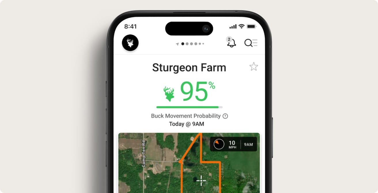
Hunt smarter with real-time insights
Track animal movement and peak rut activity, while staying ahead of weather changes like fronts and barometric shifts. Choose your prime days in the field and make every sit count.