Field Guide / Hunting Tips
How to Use a Hunting App for Better Hunts on Public Land
Use a hunting app (like HuntWise) to find public land by turning on Government Lands or Public Hunting map layers. Zoom out to see regional tracts (e.g., WMAs or National Forests), zoom in to check boundaries, and download offline maps before you hike.
At this point in the year, you're so close to deer season that you're sitting by the door in your hunting camo with your gear, just waiting for opening day. Perhaps you've already been out scouting and prepping for the season by placing your stand, checking your trail cams, and getting your bow or firearm ready for a busy season.
Have you used a hunting app to plan your upcoming (or past) hunts? Did you use one to e-scout your tree stand placement or plan your first hunt this season? Is it worth the hassle (and expense) of a subscription and dealing with technology while out in the woods on a hunt?
If you're not using a hunting app, you're missing out on the benefits of using hunting apps (specifically HuntWise) for a better hunt — yes, even on public land. Here are eight tips to help you get the most out of an app (and tag out) this season.
In this guide, we'll cover: |
Updated May 27, 2026
How to Use a Hunting App for Public Land Hunting (8 Tips)
So, let's not let another hunter take your buck this season.
Next, we share a few tips for using an app like HuntWise on public land. Whether you're new to these types of apps or you've had HuntWise or another app for a while and are ready to get more out of it, check these out.
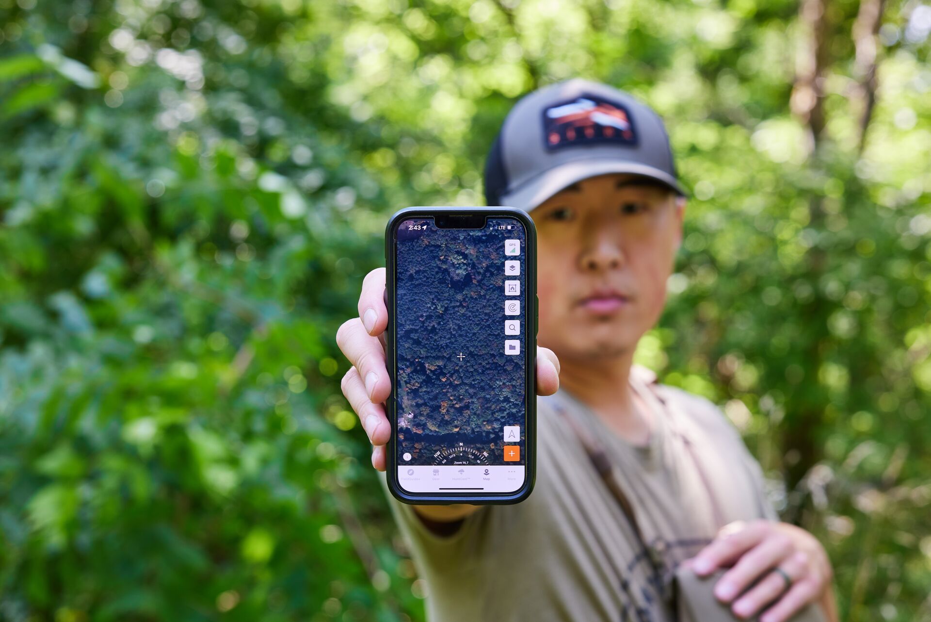
1. Use Topographical Mapping Layers to Find (and Rule Out) Hunting Areas
Walking the terrain is probably the most accurate way to really get a feel for the land, but it's also time-consuming.
Don't get us wrong, you need to get out and scout with boots on the ground. However, depending on where you hunt, you probably don't have enough time before or during hunting season to travel all of it by foot — and not all of it is worth your travels anyway.
Using topographic map layers cuts down on the amount of terrain you need to cover to fine-tune your scouting and planning for hunting day. In the HuntWise app, for example, you can toggle on different 3-D topos, then pinch and scroll through public hunting lands to get the lay of the land. This allows you to rule out areas that probably don't have any deer bedding or feeding areas or aren't likely travel corridors or pinch points, so you don't have to spend precious time walking terrain that isn't worth your time.
Digital scouting can help you rule out public spots that probably won't produce a buck while focusing on other areas you should scout on foot to inform your hunt.
2. Find Potentially Low-Pressure Hunting Areas
You want to hunt where others aren't hunting. Can an app tell you where that is?
Potentially!
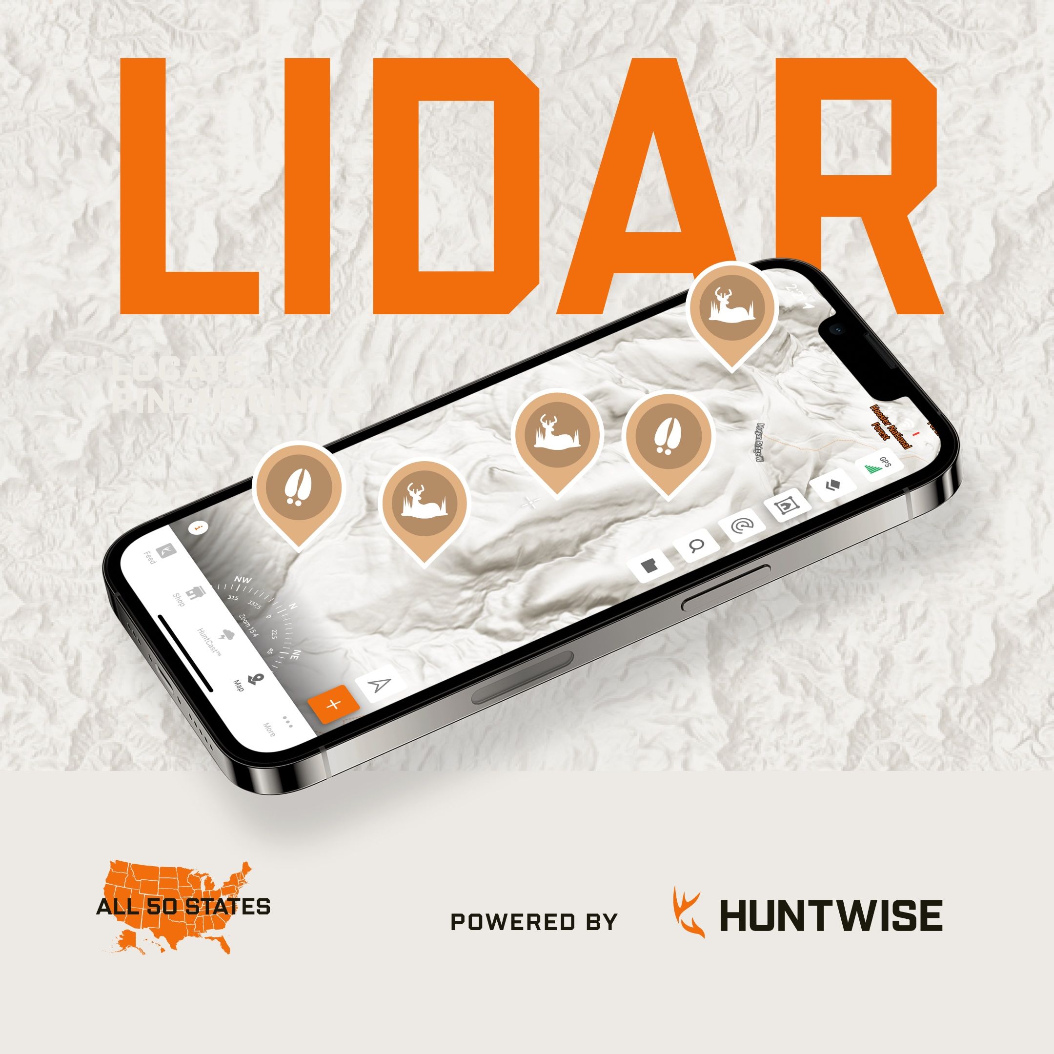
Using those topographical maps and learning how to use mapping layers like Hillshade (LiDAR) in the HuntWise app, you can find spots that could be difficult for your average hunter to access but that you're willing to get into if it looks like a spot where deer might also be.
Barriers like thick woods, waterways, or changing elevations may eliminate some hunters who aren't willing to or simply can't trek through those conditions. However, if you can spot those areas while digitally scouting and you're up for the challenge, you could find yourself in a low-pressure public hunting area on a great day to tag out.
Watch the video below to learn how to use map layers in HuntWise!
3. Find Pinch Points
What is a pinch point? These land characteristics force deer to travel into confined areas to get from one point to another, like a bedding area to a feeding area.
Pinch points can be low areas (like valleys or creek beds), a saddle between two ridges, "benches" or "roads" on the side of steeper terrain, or "bowls" that dig into the side of a hill. Essentially, it's land or water that limits the travel options for deer, compared to an open field or forest where animals can roam more freely to get from point to point.
Why do we care about pinch points? They can be excellent areas to set up shop and wait for deer to come by, as they have no other nearby options to get to where they're headed.
What's the best way to find a pinch point when public land hunting? Use a hunting app that offers a LiDAR view (like HuntWise). This takes the guesswork out of the lay of the land and helps you know exactly where to set up for a successful day in the field without having to walk the area and hope you find one of these prime spots.
4. Mark Your Territory with Hunt Areas
With all the information you get from the mapping and GPS features in your app, you won't be able to remember it all when it's opening day, and you're in the thick of a hunt.
The good news is that the only thing you need to remember is to log into your app when you're ready to hunt! With markers in HuntWise (for example), you can mark everything you find interesting or helpful on your maps, like potential bedding spots, pinch points, entry or entry points, and more.
When scouting in person, you can also mark what you see IRL (in real life), like scat, scrapes, sheds, and other deer sign.
You can also mark your hunting area and then share the location and markers with your hunting buddies to get everyone on the same page.
Learn how to set up your Hunt Areas in HuntWise in the video below!
5. Smell Ya Later by Hunting the Wind
Whether you use an app or not, the wind can either be your friend or your foe in the field.
Since deer have an incredible sense of smell, you need to know how the wind will impact the area you've scouted and plan to hunt on the day you plan to hunt. Staying downwind is crucial — and without an app, you are pretty much at the mercy of the way the wind blows based on licking your finger and sticking it up in the air while you're out, then hoping you're already downwind.
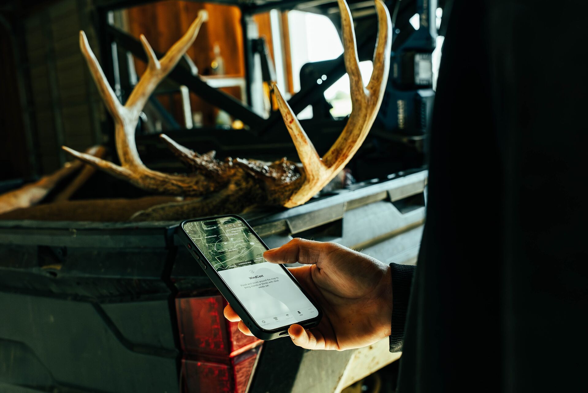
With an app, you know how the wind blows before you get to your hunting area. With HuntWise and the WindCast feature, you can plan your day and how and where you enter your stand or blind based on the app's forecasting — so deer smell ya later (or never) while you spot them from your hiding spot and take your shot.
Check out the video below to learn how to use WindCast when planning your hunt!
6. Plan a Rut Hunt
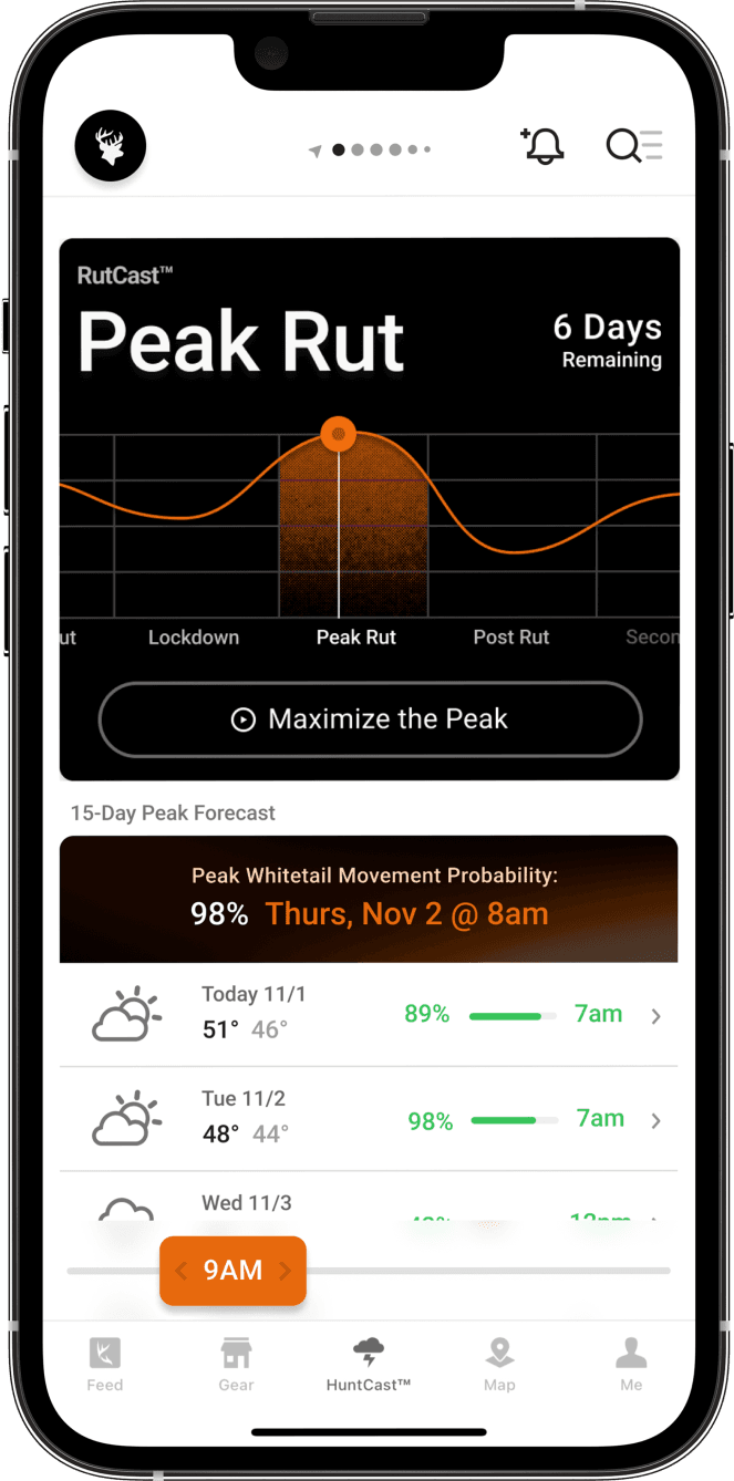
You can assume the rut will happen each season around the same time (because it typically does). However, you can't always assume the activity you'll see in a specific public hunting area is the same every season unless you're out there every day to see it.
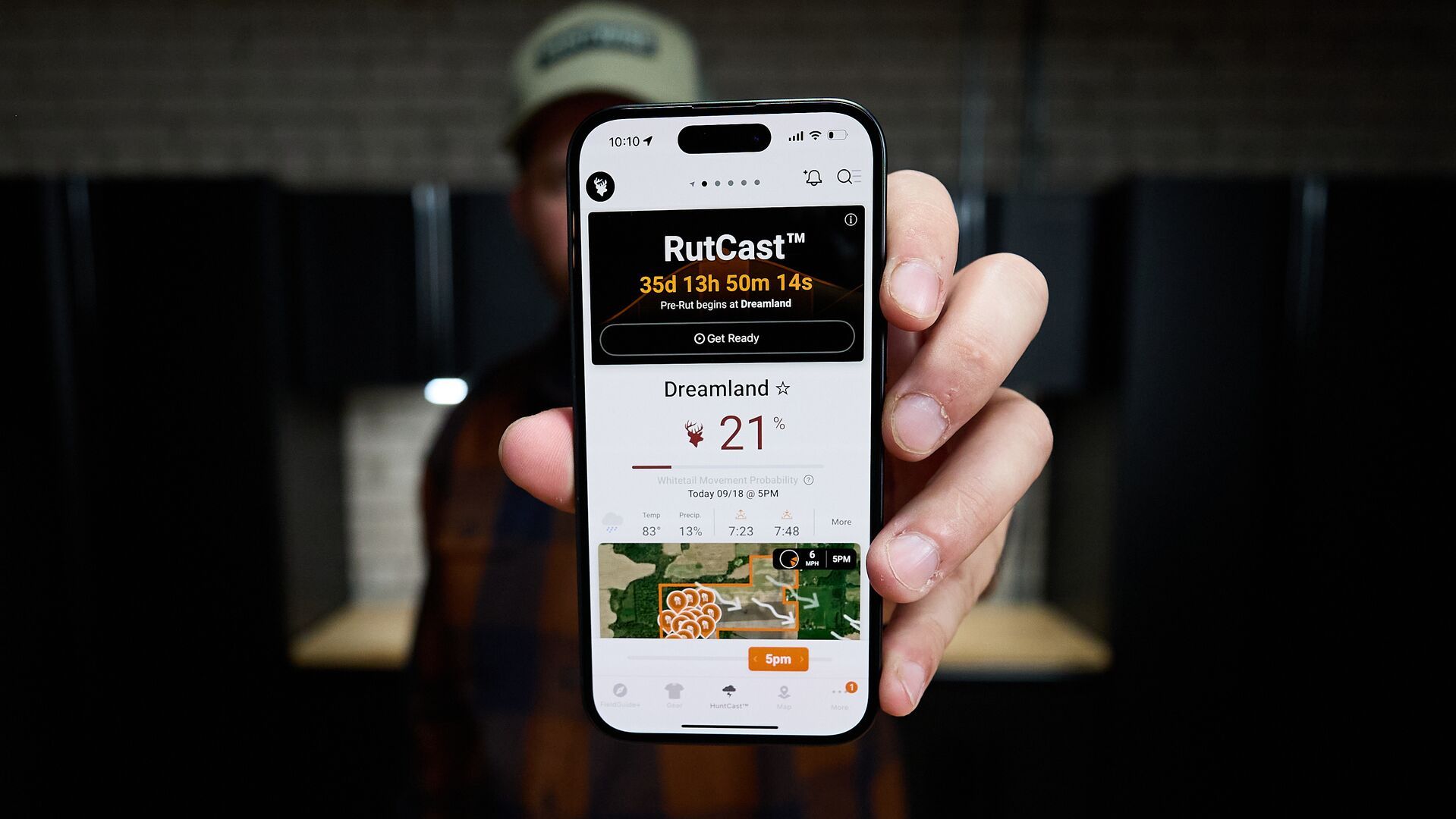
Herein lies another advantage for hunters when using an app that helps predict deer movement and activity before, during, and after the rut. The RutCast feature in the HuntWise app helps you plan a rut hunt using real-time data and weather forecasting — on a county-by-county level.
This means you can analyze the rut this season based on the county where you plan to public land hunt, then time your hunt with these insights. If you've never hunted the rut before, this is the best way to do it!
7. Go Offline
Getting out into the field is synonymous with getting into nature: disconnecting, breathing fresh air, and getting offline.
But what about your maps? All the work you've put into marking your public hunting area and points of interest is "hunting technology." You can't very well transfer that to a Mapsco or print it out from MapQuest and bring noisy papers with you into your hunting blind.
(Of course, if you're old enough to know what Mapsco or MapQuest is, you could be in the camp of "less is more" when it comes to digital technology in the field.)
Disconnecting and keeping your maps and markers offline is no issue with HuntWise. You can download your maps to use offline, so you have all of the information you need from e-scouting while in the field without staying connected to the world!
8. Get Geared Up with HuntWise Discounts
Wait, how does a hunting app help you get gear? We can't speak for all hunting apps, but HuntWise offers discounts of up to 40% off gear from our partners.
Saving money is always a good thing, and with a Pro or Elite Subscription, you can save hundreds on some of the best hunting gear out there. We're talking tree stands, platforms, packs, clothing, optics, and more.
An app that helps you scout and plan your hunt days and times around wind, weather, and rut, and helps you get suited up for a hunt (while saving money) is more than worth the subscription price in our book.
Why Should You Use a Hunting App?
You could be missing some of the best hunting success you've ever had if you aren't using an app — specifically HuntWise — to plan and execute your hunts.
So, let's talk about hunting apps in general. The truly robust apps are not just maps, like taking Google Maps out into the field. They're much, much more useful tools specifically designed for hunters and what hunters need to inform hunts.
While we realize some hunters may believe that using an app is cheating, we'd like you to consider that the advantage an app provides is an advantage over other hunters (especially on public land). The rules of Fair Chase still most certainly apply to the animals you're after, whether you use a hunting app or not.
You Have the Advantage Over Other Hunters
The advantages of an app lie in how hunters can plan their time in the field based on weather, timing, and wind direction.
We promise you that many (if not most) hunters on public hunting land are using an app. So, to gain an advantage over them (and hunters without an app), using an app like HuntWise can help you find hidden pockets of land that have more deer than humans and point you to the best day and time of day to be in your stand before other hunters get there.
Imagine:
- Using your phone to view maps, elevations, wind direction, weather forecasting, rut forecasting, and other critical information — in one app — to help you put yourself in the best location on the ideal day to bring home a big buck.
- Having that information before you get into the field so you don't have to spend a good chunk of your day guessing and wandering through the woods until you see deer sign and hoping it's a good spot.
Then, imagine that if it's not you using an app to your advantage, someone else is . . . and will likely bring home that buck. No thanks.
Hunting apps can help you avoid hunting pressure and open up new options for public hunting areas. Fewer hunters and more places to hunt can lead to more meat in your freezer at the end of the season.
Download the HuntWise Hunting App and Plan Like Never Before
If it's not opening day yet, that means you still have time to plan! You've probably got your gear waiting by the door, so what better way to spend your time than by exploring how a hunting app can help you learn about public hunting areas and find spots where you're more likely to find deer and less likely to find other hunters and high-pressure situations.
With a free trial of HuntWise, you have access to the features and tools we've talked about today. You can wait by the door with your gear pack and explore maps and layers, add markers to your maps, check out WindCast and HuntCast forecasting, and make sure you're ready to head out the door for a better hunting experience.
When you explore a Pro or Elite membership (free for your first week), check out the gear discounts and make sure you have everything you need for your hunt — and save some bucks if you need more gear to bring home more bucks.
Previous in Hunting Tips
More Content Like This
8 Tips and Tricks For Opening Day of Gun Season
Despite where we are all from, how long our state's season lasts, how old we are, or how many deer we have filled the freezer with, we all have the magic of opening day in common. Whether you have hunted 30 opening days or this is your first one, it...Read More
Read More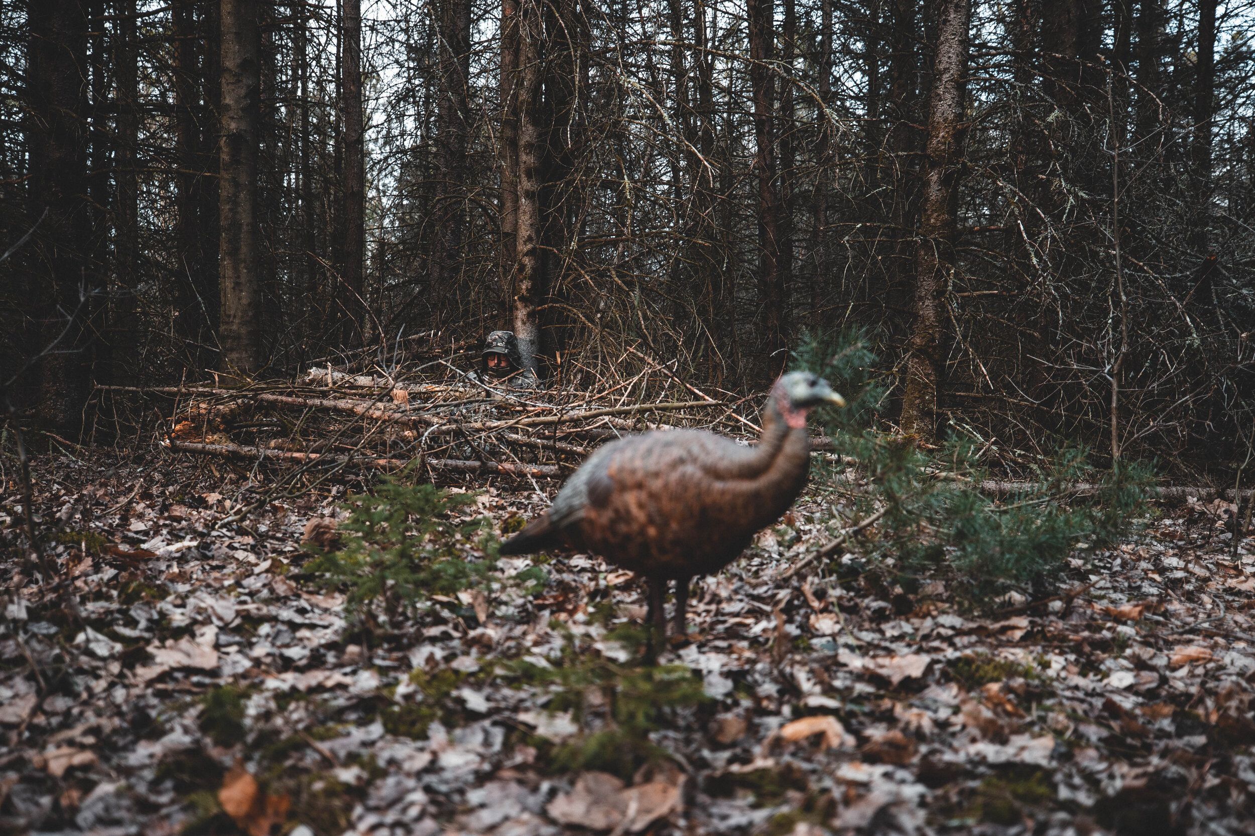
How to Fire Up a Silent Spring Tom
Right before sunrise, gobblers get excited. They're very vocal on the roost and after fly down. It's like when the lights go out at a pro basketball game, the music begins to pump, and the announcer bellows the starting lineup to a hyped-up crowd.Read More
Read More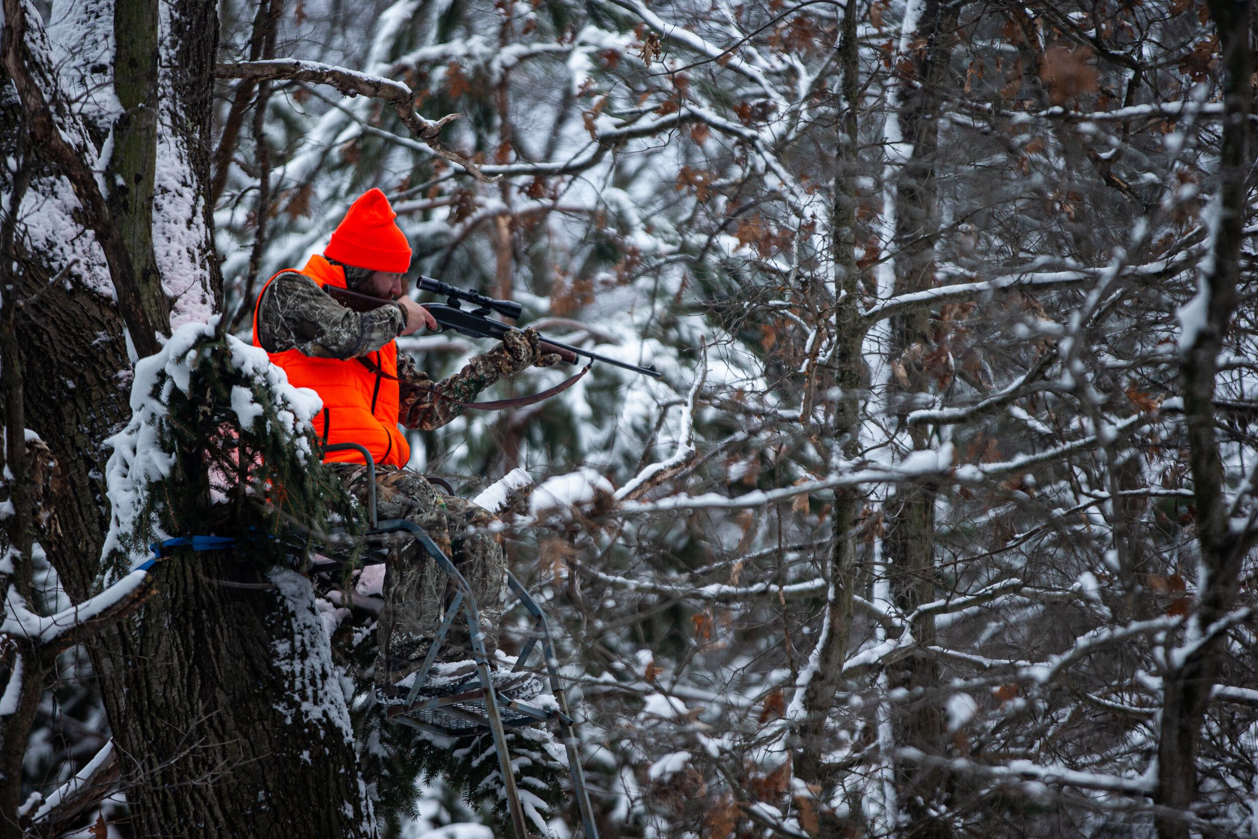
The Guide to Late-Season Whitetail Hunting
Late-season deer hunting efforts often include a mixed bag of opportunities for mature bucks. Focusing on food, warmth, and less pressure can be the shift in strategy that helps those hours in the cold pay off. Read More
Read More- Hunting Tips
8 Tips and Tricks For Opening Day of Gun Season
Despite where we are all from, how long our state's season lasts, how old we are, or how many deer we have filled the freezer with, we all have the magic of opening day in common. Whether you have hunted 30 opening days or this is your first one, it...Read More
Read More - Hunting Tips
How to Fire Up a Silent Spring Tom
Right before sunrise, gobblers get excited. They're very vocal on the roost and after fly down. It's like when the lights go out at a pro basketball game, the music begins to pump, and the announcer bellows the starting lineup to a hyped-up crowd.Read More
Read More - Hunting Tips
The Guide to Late-Season Whitetail Hunting
Late-season deer hunting efforts often include a mixed bag of opportunities for mature bucks. Focusing on food, warmth, and less pressure can be the shift in strategy that helps those hours in the cold pay off. Read More
Read More
1 of 3